My skills and expertise.
- GIS
- Geographic
- Web mapping
- Spatial data
- Databases
- Spatial data analysis
- Map
- Analysis
- Dashboard
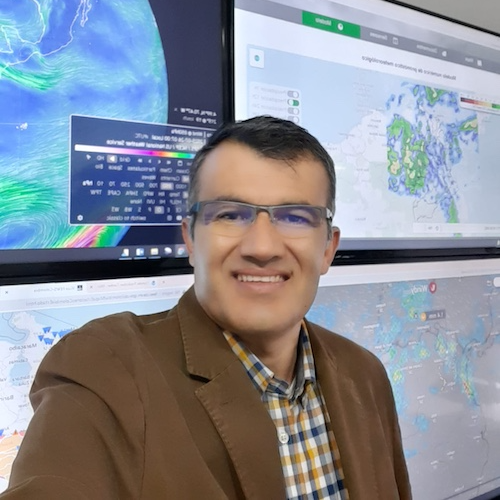
Hi, I am Mauricio Salazar
I believe in the power of GIS and maps. If your spatial data, maps, or processes seem entangled, I can help by unlocking insightful solutions that illuminate your path forward.
My dedication to applying my skills in practical, impactful ways was recognized when I received the prestigious “The Best 2014” award from the Colombian Air Forces. This accolade was in honor of my pioneering work in developing Colombia’s first Electronic Flight Bag for military aviation, showcasing my ability to deliver innovation, passion, and a superior client experience through technological advancements. Let’s explore how my work can help your business.
My work.
Integrating weather, cartography, and airport charts.
integrating weather forecasts, climate, and real-time sensor data.
Weather reports, layers spatial data, dashboards.
My clients.


Testimonials.

"Mauricio streamlined analysis processes GIS and web mapping solutions directly addressing our core challenges. We've achieved unprecedented levels of security and innovation, and operational needs of military pilots in the Colombian Air Force."
Captain Ferney Galindo | Former Chief of Aeronautical Procedures | Colombian Air Force
"Applying customized solutions revolutionized our operational capabilities at a fraction of the cost. Integrated weather forecasts, enabled real-time analysis of spatial data, and interactive charts from remote sensors."
Cifilfredo Rojas | Director of the Hydrometeorology Office | Aviatek Colombia


"The GIS web mapping application transforms our approach, particularly within the Forecast and Warning Service Office. The result has markedly streamlined our workflows and reinforced our decision-making processes."
Christian Euscategui | Former Chief of Forecast and Warning Service Office | Institute of Hydrology, Meteorology and Environmental Studies
My pricing.

Spatial data analysis Starting from $3,000
Services include Insights with spatial analysis service, extracting and transforming spatial data from clients' sources, and converting it into actionable intelligence dashboards and reports for informed decision-making.
What's included:
- 1 round of revisions.

Web mapping applications Starting from $6,000
Enhance your decision-making with our web mapping service: a user-friendly web map featuring two layers of critical information powered by a custom API for seamless integration and insights.
What's included:
- 1 round of revisions.

Web map system integration Starting from $12,000
Elevate your analytical capabilities with our advanced web map system integration service:
a comprehensive solution featuring four layers of information, three custom APIs from diverse sources of data, a streamlined dashboard for intuitive navigation. Unlock a world of insights with precision and ease.
What's included:
- 2 rounds of revisions.
